Our services
We provide professional survey services, with a strong focus on accuracy, reliability, and quality outcomes for every project.
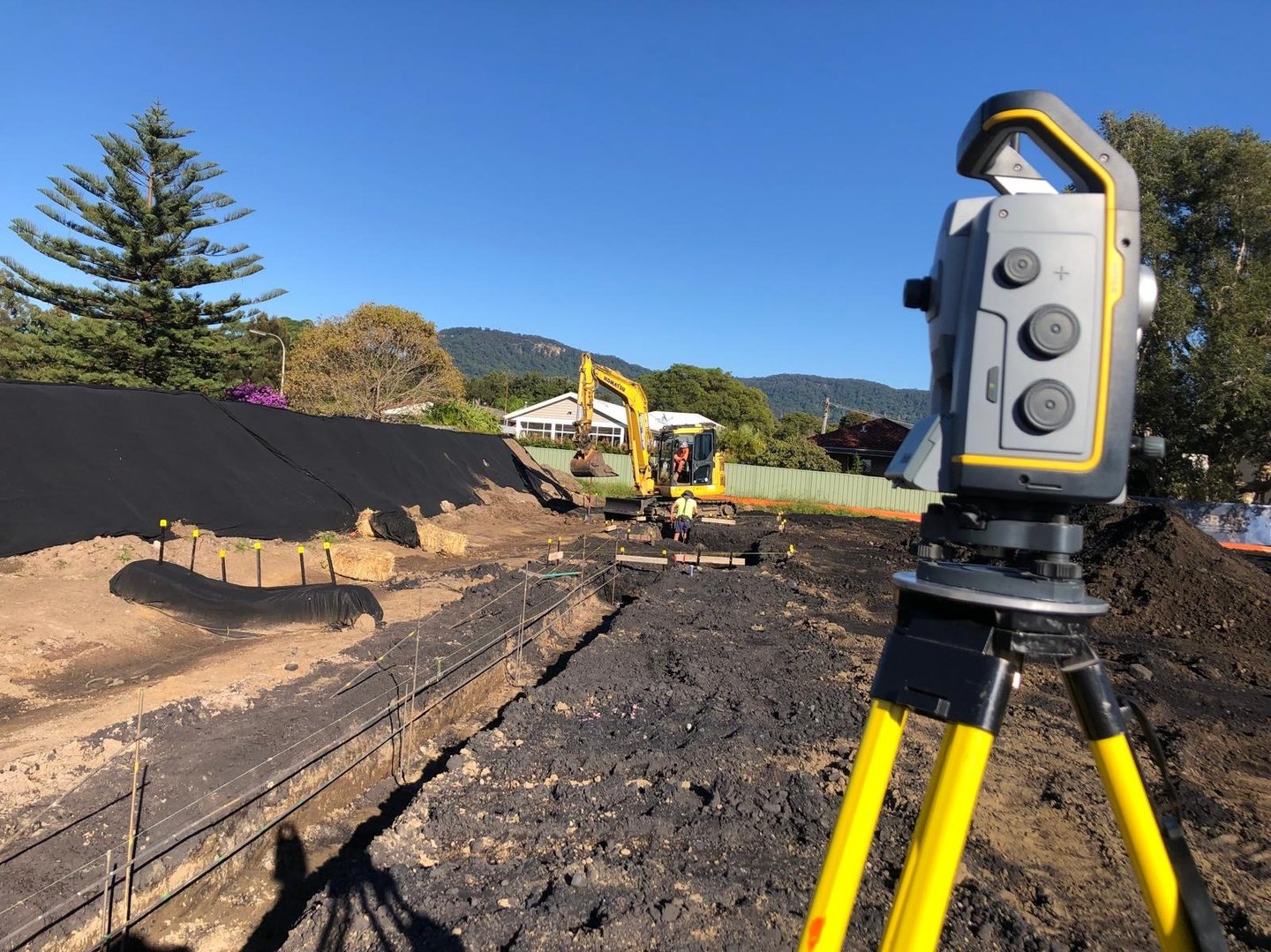
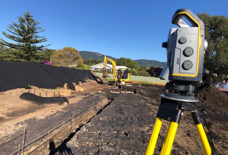
Civil Surveys
Accurate survey data for infrastructure, roads, drainage, earthworks, subdivisions, and land development projects. Our civil survey services support engineers, contractors, and developers with reliable site information, levels, features, and spatial data for planning, design, and construction.
Cadastral Surveys
Defining legal property boundaries with accuracy and clarity. Our cadastral survey services support boundary identifications, subdivisions, easements, property peg-outs, and land development projects.


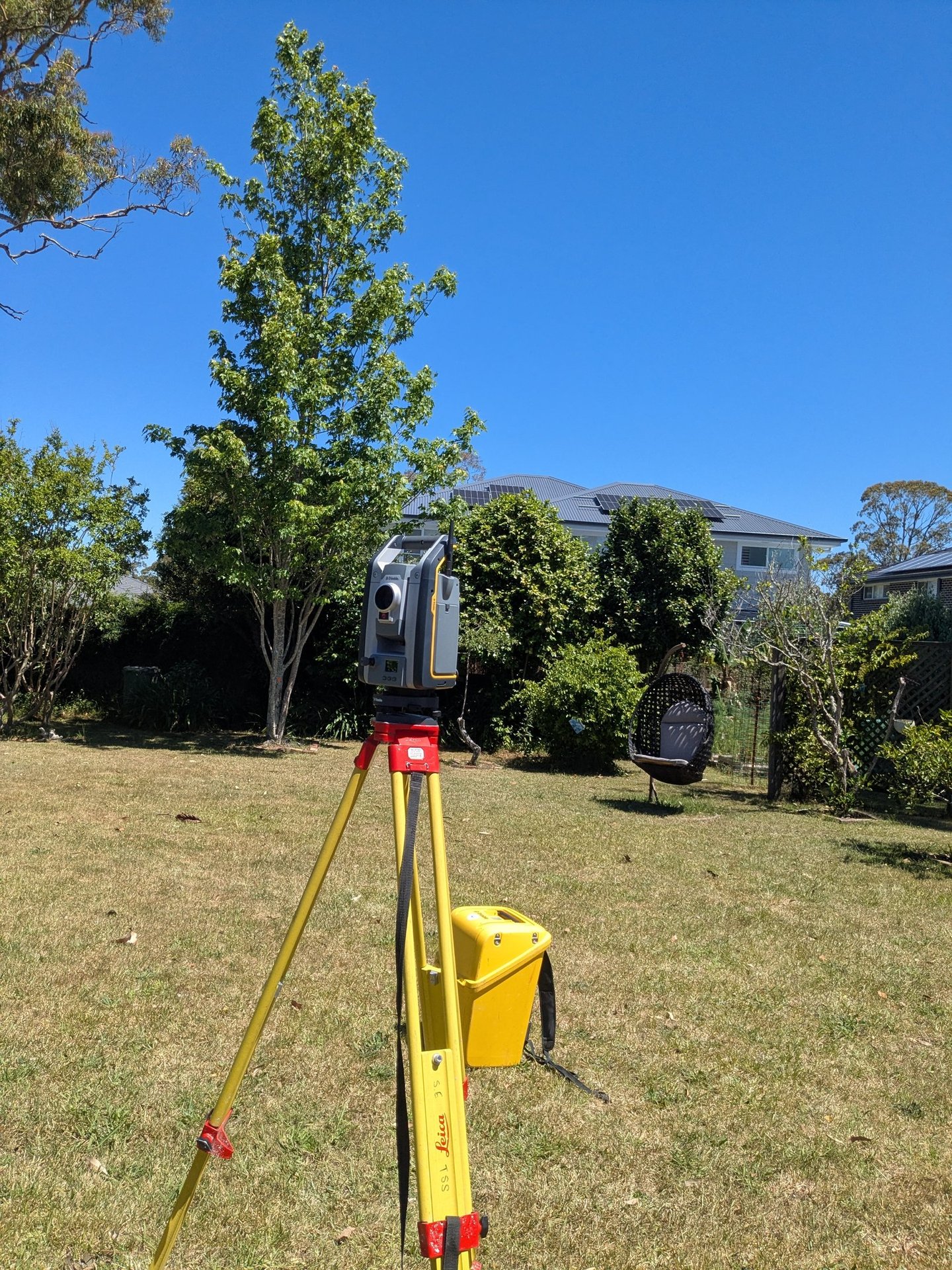
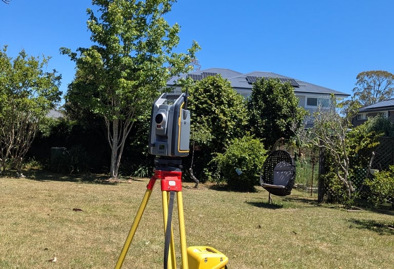
3D Scanning & Drone Surveys
High-detail spatial capture for buildings, sites, structures, and land development projects. Our 3D scanning and drone survey services provide accurate point clouds, aerial data, 3D models, and site documentation to support design, construction, planning, and project verification.
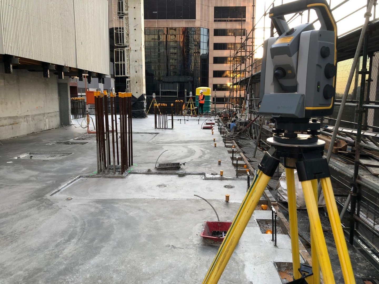
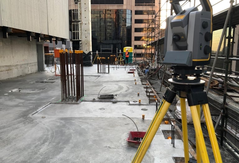
Construction Surveys
Accurate setout and verification surveys for residential, commercial, civil, and high-rise construction projects. Our construction survey services support builders, contractors, and developers with precise positions, levels, dimensions, and quality checks throughout each stage of construction.
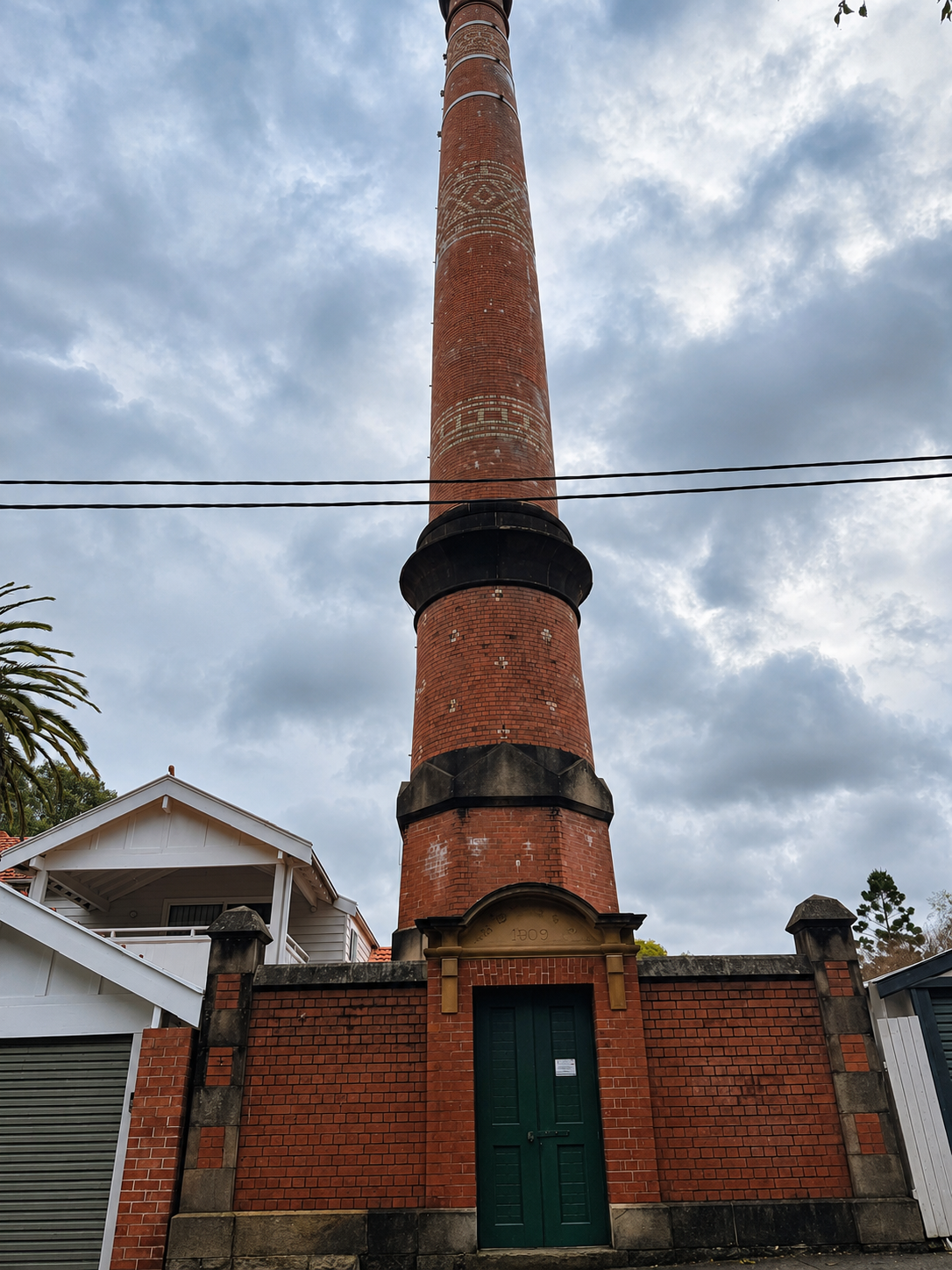
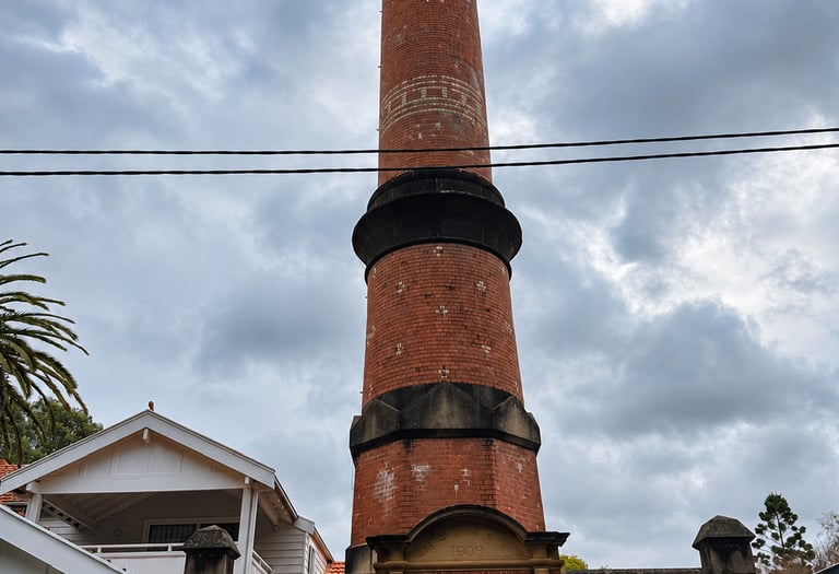
Digital Cultural Preservation
Accurate 3D documentation for heritage, archaeological, and culturally significant sites. Our digital cultural preservation services deliver georeferenced 3D models, point clouds, and survey-grade spatial data to help record, protect, and preserve important sites for future generations.
Contact Us
Get in touch for surveying enquiries.
stevene@elitelinesurveying.com
0450 593 044
© 2026. All rights reserved.