Excellence in Every Line
Expert surveying services for civil, construction, and cadastral projects.
Civil Surveying
Accurate assessments for infrastructure projects.
Comprehensive land evaluations and reports.
Expertise in regulatory compliance.
Construction Surveying
Cadastral Services
Drone and Scanning Services
Expertise in capturing and processing point cloud data.
Your Trusted Surveying Partner
At Eliteline Surveying, we specialize in civil, construction, cadastral, and scanning surveys, ensuring precision and reliability for all your project needs.
Expert Surveying Services
Providing comprehensive civil, construction, cadastral, and scanning services tailored to your needs.
Civil Surveying
Accurate assessments for infrastructure and land development projects.
Construction Surveying
Precision measurements to support your construction projects.
Cadastral Surveys
Defining property boundaries with expert precision and clarity.
3D Surveys
Accurate assessments for infrastructure and land development projects.
Lidar & Photogrammetry Drone Surveys
Implementing the latest Drone technology to provide surveys in the harshest conditions.
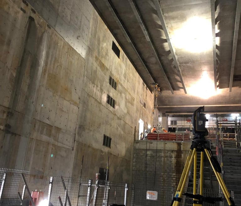
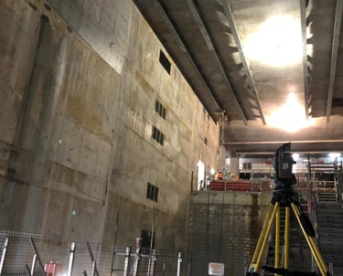
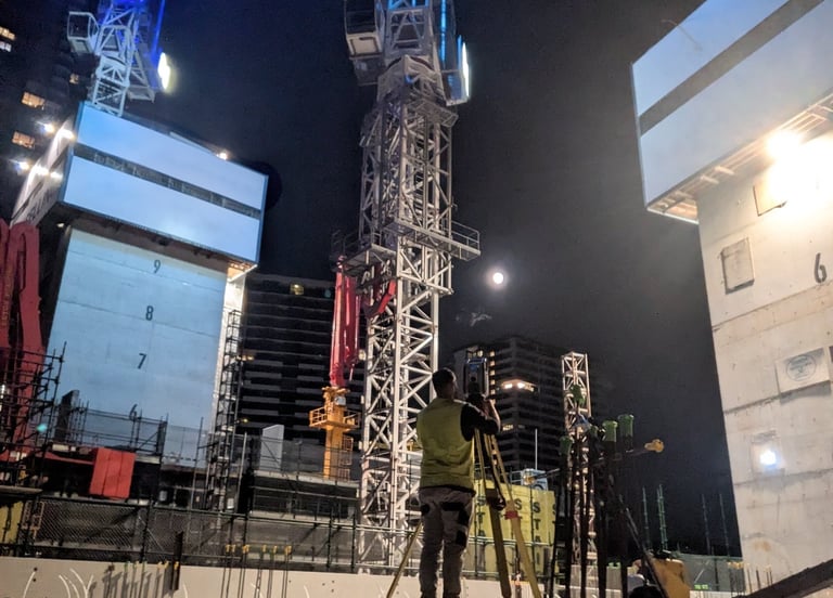
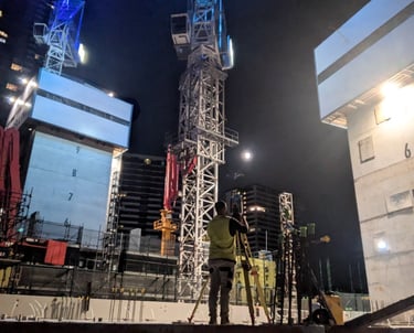
Gallery


Explore our projects and surveying expertise.
Get in touch


Contact
Get in touch for survey inquiries.
Connect
stevene@elitelinesurveying.com
0450 593 044
© 2025. All rights reserved.